A spectacular collapse of a cave at least 10,000 years ago, a piracy of a stream, and a liberal dose of Ozark folklore combine to make a great story, and an even better place to visit. For years now, my husband has wanted to go to Missouri’s Little Grand Canyon, known officially as Grand Gulf State Park. We finally got that proverbial “round tuit” and traveled southeast to the border country of Missouri and Arkansas this summer.
In Geologic Wonders and Curiosities of Missouri, former state geologist Tom Beveridge wrote, “Grand Gulf may be Missouri’s most impressive karst feature.”
Here’s a piece of trivia for you crossword puzzle workers out there: karst derived its name from a region in Yugoslavia where karst topography was first studied. Karst topography features caves, springs and sinkholes. According to the MO State Parks web site, “Missouri is one of the premiere karst regions on Earth.”
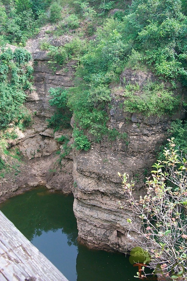
According to another “must-have” source for Missouri history and geology buffs, Exploring Missouri’s Legacy, State Parks and Historic Sites, the Gulf is actually a chasm, deeper than it is wide. It’s a wonder for geologists to see, and a nice day trip for the rest of us.
But back to the story elements . . .
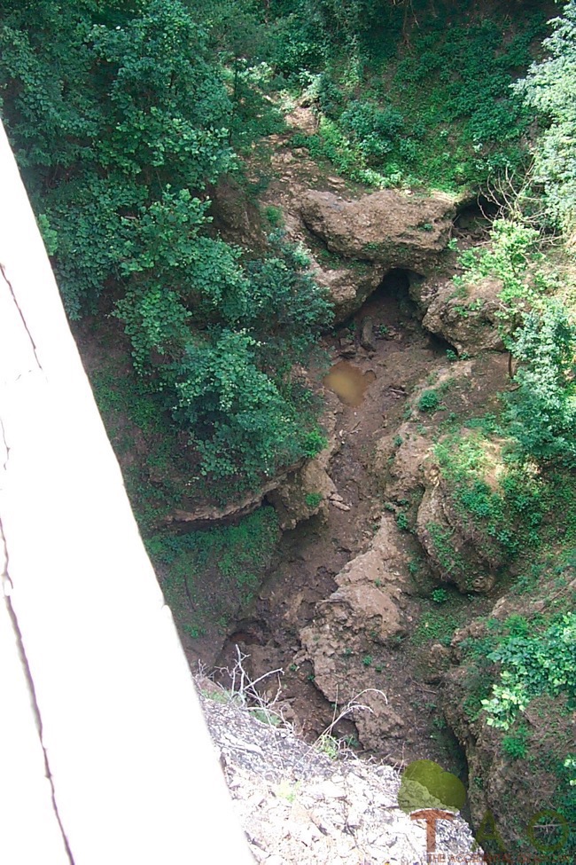
Back when Missouri began to take shape from acidic groundwater combined with uplifting layers of sediment and other deposits, a large cave system formed in what is now Oregon County. Bussell Branch, a stream draining approximately 24 square miles, ran along the surface of the cave system.
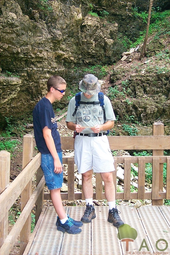
As mentioned previously, the cave collapsed. But the entire cave did not fall. A portion of it remains as a 200-foot-wide, 75-foot-tall natural bridge, with nearby bluffs of up to 130 feet. Fortunately the walkways are well maintained, with wooden boardwalks, railings and stairs that aide hikers on what could be slippery slopes.
When the cave collapsed, Bussell Branch fell into the ensuing chasm and merged with the subterranean drainage system. Geologists call this action “stream piracy.” The chasm’s underwater streams grabbed Bussell Branch and the water flows through a 250-foot tunnel of the old cave system.
Back in 1941, Otto Rayburn emptied sacks of oats into the stream. A few days later, he watched as the oats emerged “from the bowels of the earth” at Mammoth Spring, Arkansas. This spring produces about nine million gallons of water per hour, most of it from Grand Gulf’s source.
By using fluorescein dye, scientists proved that the waters from Grand Gulf travels nine miles to this spring in Arkansas, which happens to be its largest one.
The Grand Gulf has its own piece of folklore, too. In fact, one writer described the stream as “a lost river, born in Missouri, reborn in Arkansas.” This lost river purportedly ran by the campsite of Job and his herdsmen. Therefore, it was the official Land of Uz from the Old Testament, where tribesmen traveled by boat up and down the stream. Beveridge wonders how these folks could “emerge at the spring-end of the route.”
When under attack, Job’s people fled to the Grand Gulf, only to have their enemies [Were they Arkan-soy-yers, I wonder?] roll stones into the spring outlet, plugging the exit, and consequently, flooding the Gulf. Supposedly, hieroglyphics have been found at the site, and a 3,000-year-old urn was also uncovered.
We know that an ancient village once existed near the Grand Gulf, but most of us would not believe that Job and his followers lived in the Ozarks.
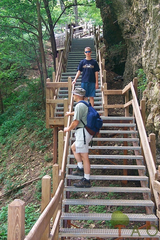 But it’s interesting to speculate about what things were like, and it’s easy to imagine how things might have been—all while standing at the bottom of the chasm looking up, up, up and finally seeing the sky through the trees.
Grand Gulf State Park is located off Highway W, which is west of Highway 19 in Thayer. The park is open daily from 8 a.m. to dusk.
Learn more about Grand Gulf State Park.
First published September 19, 2002.

