You can go to the Devil in Missouri in at least 80 places. From up high on a Devil’s Backbone to below the earth’s surface in the Devil’s Well, geological formations named after Lucifer abound.
A former state geologist and University of Missouri-Rolla professor, the late Thomas R. Beveridge, described several places named for the Devil in “The Devil in Missouri,” a chapter from “Geologic Wonders and Curiosities of Missouri” (second printing, Missouri Division of Geology and Land Survey, 1980).
Beveridge attributed naming of the Devil’s geological wonders – such as dens, tables, racetracks and hollows – to settlers from the Appalachia Highlands, including Scotch-Irish Calvinists. He claimed these settlers were suspicious of dark, dank places and craggy, twisted rock formations.
The Devil in Missouri
The following places are just a few of the many listed in the book. Try “going to the Devil.” It might be a refreshing and thought-provoking trip.
Devil’s Well, near Akers Ferry
Beveridge likened the Devil’s Well, a river that runs 100 feet under the earth’s surface, to the “earth’s digestive system” … “a chance to peek at a part of the plumbing system of a major spring, with a daily flow as great as 50 million gallons.” Visitors may peer through a vertical sinkhole down onto the dimly lit surface of the groundwater system. The lake below is at least 100-feet deep, as long as a football field, and a beautiful blue-green color.
To find the Devil’s Well, take Highway 19 south of Salem, Mo. Turn west on MO KK, and drive two miles, where you will see a sign. To call the National Park Service, phone 573-323-4236.
Devil’s Icebox, Rock Bridge Memorial State Park
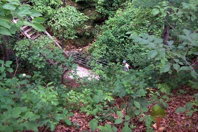
There may be bats in the belfry somewhere in the Ozarks, but the Devil’s got bats in his icebox. The Devil’s Icebox is actually a sinkhole, part of a cave system running for several miles underground. The park brochure claims the Icebox is “the park’s most impressive geological feature.”
The cave is open by appointment only, during the months of September through March, since bats mate and then roost in the cave from April through August. Cave visitors must lie flat in a canoe for part of the first half-mile of the trip, with their noses practically pressed against the bats on the ceiling. This cave is not for the faint-of-heart spelunker. Guided tours are available, but must be arranged for in advance.
Numerous trails, some on a boardwalk system, run throughout the park. Some trails go to ridge tops, while others make it easy to explore the Icebox sinkhole without being ankle-deep in mud. It’d be easy to spend a whole day on trails – such as the High Ridge Trail, the Deer Run Trail and the Spring Brook Trail.
Rock Bridge Memorial State Park is located off Highway 163, about four miles south of Columbia. Take US 63 north and follow the signs to the park. Primitive camping is available by appointment. Website: www.mostateparks.com/rockbridge.htm.
Devil’s Kitchen, Roaring River State Park
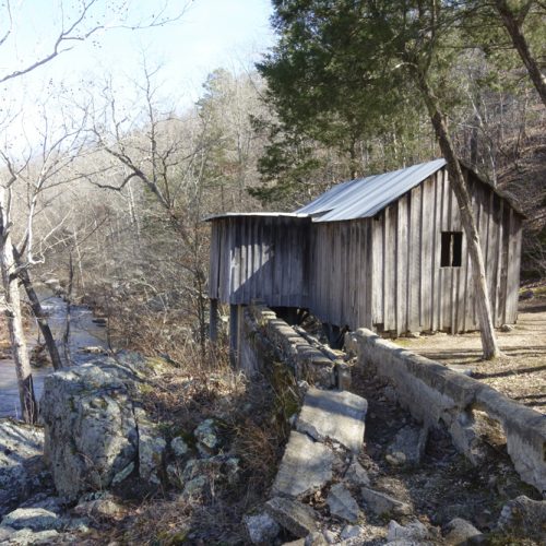
This state park, much of it built by the Civilian Conservation Corps in the 1930s-’40s, contains more than 3,000 acres and part of the Roaring River in Barry County, south of Cassville. Besides having a fish hatchery, a pristine trout stream, rustic cabins, several campgrounds and a lodge, the park also boasts several hiking trails, including the Devil’s Kitchen Trail.
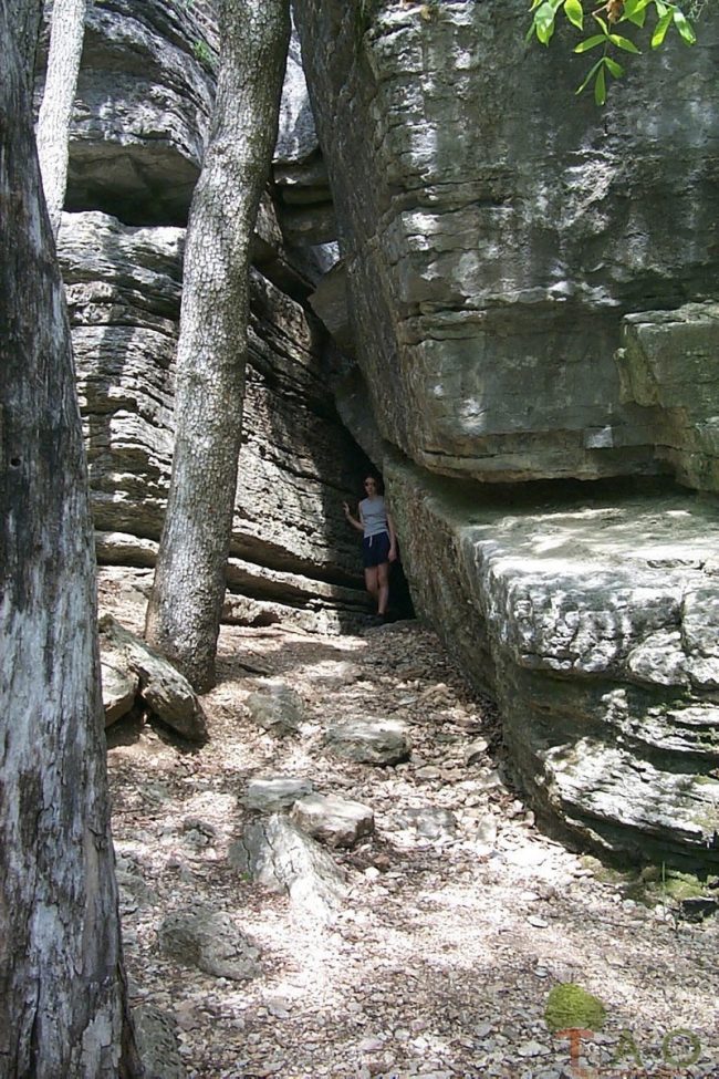
The Devil’s Kitchen formed at the end of a bluff from the erosion of a soft layer of shale in between two layers of limestone. The top layer of limestone shifted and caught on the larger portion of rock below, forming a dark, narrow room with a front and back entrance. In 1985 further erosion caused more rocks to break loose, blocking the front entrance.
Once inside the kitchen, it’s easy to see why it was so named. In the olden days, kitchens were often attached to houses – small, with slanted roofs and few windows. The Devil’s Kitchen fits the description of an old-time kitchen.
Civil War buffs might be interested to know that this site purportedly housed Civil War guerillas. That image adds to the mystery and to the sense of malevolence associated with the site.
In our family’s opinion, the Devil’s Kitchen Trail ranks as one of the most interesting trails in Missouri. Not only does it have several historical features, but it also allows you the opportunity to see the Ozarks at its best in any season.
Grounds are open from sunrise to 10 p.m. year round. For more information, call the park office at 417-847-2539. Website: www.mostateparks.com/roaringriver/geninfo.htm
First published in August 22, 2005.


