It seems that the Devil has left his marks all over the state of Missouri. Especially prominent are the sets of backbones named after him.
In my never-ending search for places named for Lucifer, I talked my family into going on another trip to the Devil. Whereas before this trip, we had peered down into the Devil’s Icebox—actually a sinkhole system in Rockbridge Memorial State Park—this time we went way up high, near the Columbia Regional Airport in Boone County.
Once again I referred to my trusty handbook about Missouri by Tom Beveridge, “Geologic Wonders and Curiosities of Missouri,” to find a devilish spot.
Beveridge listed 24 backbones throughout the state, and speculated there are many more.
In fact, we drove on an unlisted backbone on “Z”, up near Lanes Prairie in Maries County last winter. This backbone formed a ridge road for a mile, or so. The view was spectacular, since we could see down on each side of the road.
The Devil’s Backbone in Boone County lies off the beaten path. We found that not only did the road twist and turn, it also became narrower and narrower. (This is a problem when you drive a Suburban.) When we decided to park and walk, we really weren’t too sure what we were looking for until we saw it.
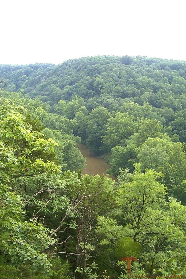
Located 170 feet above the streambed of Cedar Creek, this backbone is actually a rock neck that runs alongside the creek. A series of Burlington limestone in dark shades of gray forms a half-mile line along the ridge top. Beveridge wrote that the limestone contains crinoids, fragments of fossils the size of coins. He suggested gathering some and then stringing them into a necklace—since many of them have hollow centers.
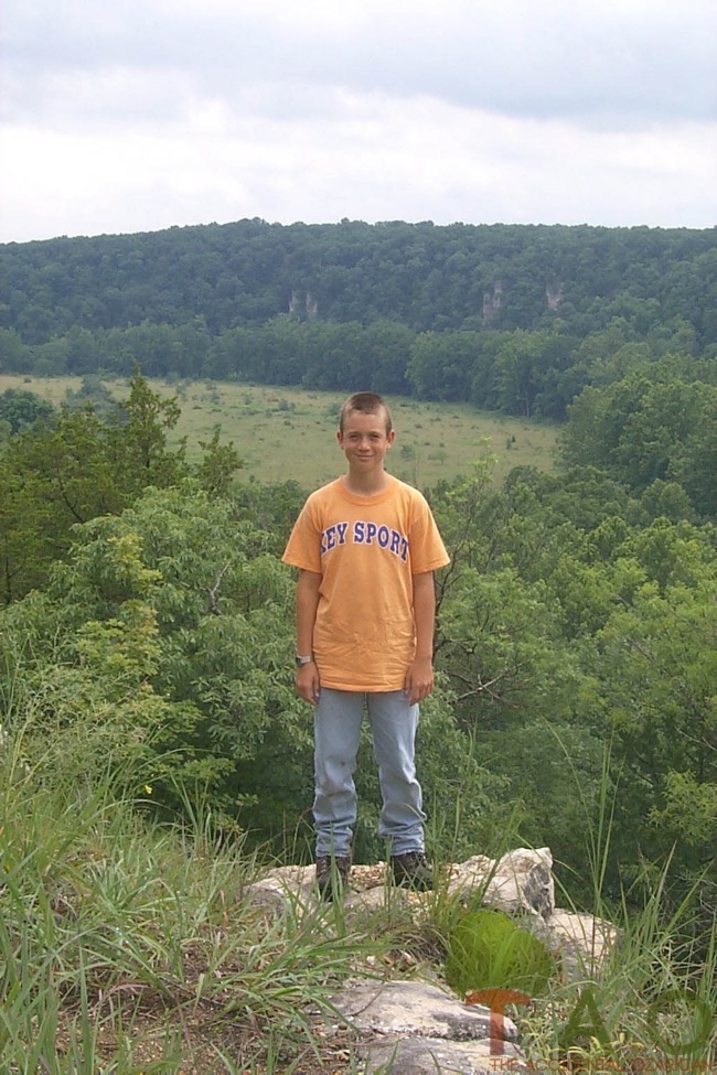
The view from the backbone was well worth the trouble that it took to find it. Rough and tumble type terrain fell down the slope to the creek bed on the west while a more pastoral view of hills and dales, covered in lush green grass, ran like waves in the east.
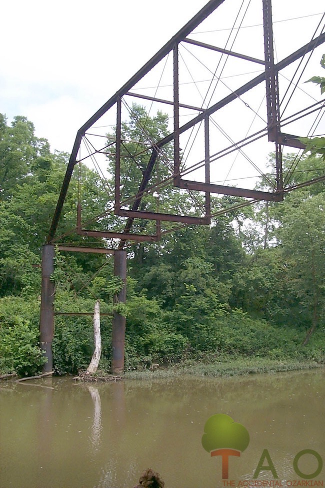
After the short hike on the backbone, we continued on, heading down the skinny little road that led to Cedar Creek. Beveridge had mentioned that an old iron truss bridge crossed the creek. We found it, but it had no supports on the platform anymore. Our youngest son, the one who would jump first and then think about it on the way down, said, “Hey, let’s get some ropes from the truck and go across the bridge.” We vetoed that idea, and hopefully, he won’t remember how to get back there.
Standing there at the foot of that old bridge made me wonder. What must it have been like to stand down here when that old bridge was in its heyday? And I started to imagine the types of vehicles that passed over it. Maybe farmers used it to get back and forth from the farm to the market? Maybe families crossed it in Model-Ts to go to church? Maybe folks walked across it to get to the better side of the creek for fishing?
 Meanwhile, today it stands neglected and forgotten. Like so many other rusted-out contraptions sitting in fields and down in hollers of the Ozarks, it represents man’s progress. But like so many man- made things, it couldn’t compare to the work of the Master—over there on the ridge top.To get to this particular Devil’s Backbone, take US 63 to Columbia. Turn east on Highway “H” in Boone County, about 4 miles south of Columbia. Go past the airport. At Englewood, continue straight and at the next T-intersection, go straight. At the next T-intersection, turn south (right). When the road becomes too narrow for a car, pull off to the side. Walk a ways down the road and look up to your left.
First published February 8, 2002.

