I found an old book, published in 1997, titled “The Most Scenic Drives in America,” from “Reader’s Digest.” The book offers 120 tours of the continental US. I realized some of the routes might have changed over the years, but I seriously doubted that the landmarks would change that much. To kick off our tours we chose one close to home, Arkansas’ Scenic Highway 7.
Arkansas’ Scenic Highway 7
We decided to take this drive starting at the end of October, about the time we figured the leaves would be turning and online reports of fall colors for the area looked promising. It turned out, however, the leaf colors were spotty, at best, during that time in Northwest Arkansas. No matter; it was a great drive and we appreciated any colors we found along the way. I imagine this time of year (spring), with the red buds and dogwoods in bloom, it’ll be gorgeous!
This trip encompasses 320 miles including side trips. (The Arkansas Scenic Byway is 190 miles long.) The book doesn’t do justice when describing how far some of the actual sights are off the official stops, and it failed to give good details on how to get to some of the places. Nevertheless, along the way we found other interesting stops and I’ve included them in this post.
Arkansas’ Grand Canyon
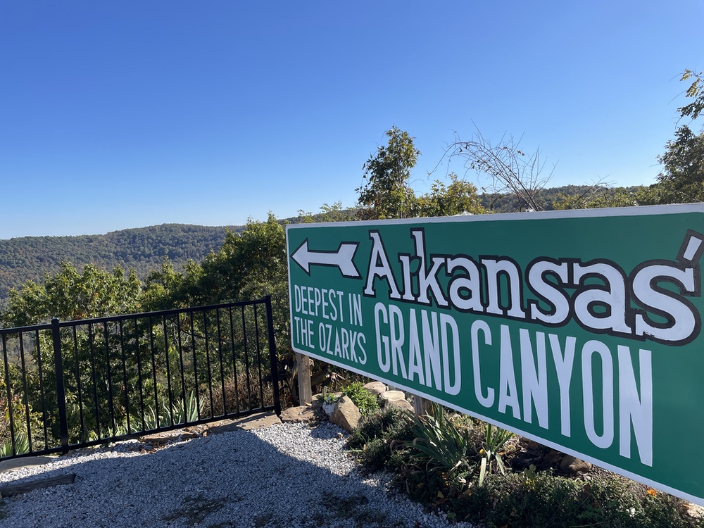
The tour officially starts in Hot Springs – but we live in Missouri, so we started near the end of the tour, Jasper, Arkansas. We found Arkansas’ Grand Canyon, cut into place by the Buffalo River. One of the best places to view it is from Arkansas’ first roadside rest area, the “Rotary Ann” roadside stop. In the 1930s, wives of the guys in the local Rotary Club called themselves “Rotary Anns,” and they decided to raise money by constructing a rest stop here. Leave it to a bunch of moms to make a nice bathroom stop! The overlooks are beautiful and well worth a stop. It’s a great picnic spot, too, with tables scattered around. At this point of the tour, you will be in the Ozark National Forest, which encompasses 1.2 million acres and boasts the highest mountain in Arkansas, Mount Magazine.
Russellville
We crossed the Arkansas River to arrive in Russellville. This is where we decided to base ourselves for the next two days, as it was centrally located on “Scenic 7” and because we wanted to spend more than one day exploring the route, we’d need some place to stay overnight.
Ouachita National Forest and CCC Camps
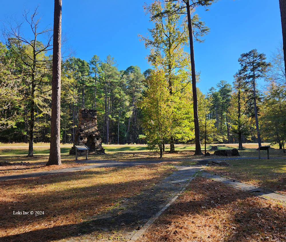
Highway 7 runs for 23 miles through the Ouachita National Forest, which once held 16 Civilian Conservation Corps (CCC) locations, unmentioned by the book. We only discovered the CCC was there when we stopped along the road at a turn-out that happened to be at the old Jessieville camp.
I am a fan of the CCC and what it did for our country back in the 1930s (Depression Era), by employing eventually half-a-million able-bodied young men to build parks, roads and shelters, as well as plant more than 3 billion trees. The Jessieville CCC site only has some stonework standing, but down the road at the Hollis CCC, you can visualize the entire setting. It was the first CCC camp to accept workers in Arkansas, in May 1933. Onsite, it had 4 barracks, mess hall, kitchen, bathhouse, education building, hospital, Forest Service office, motor pool, commander’s barracks, recreation hall and several shops. These facilities are indicated on maps along a well-laid out walking tour of the site, and the foundations still exist. Hollis closed for a year in 1935, but reopened and stayed open until WWII in 1941, when Roosevelt sent able-bodied men to Europe instead.
Hollis Country Store
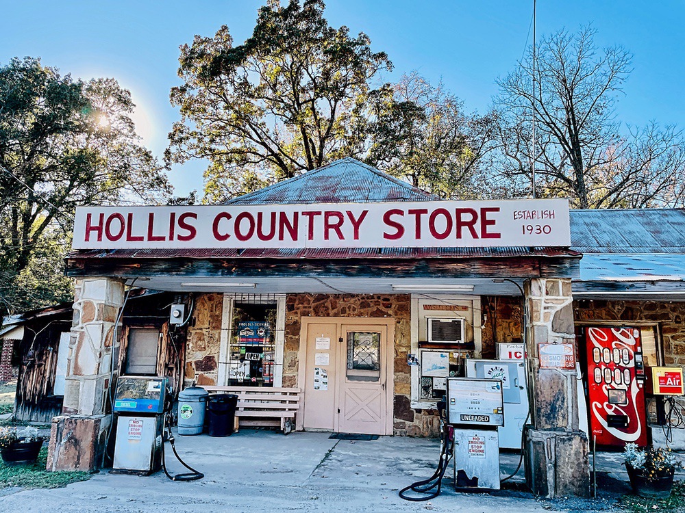
We then traveled on down the meandering road toward Plain View, and along the way, we moseyed past and then turned around to check-out the Hollis Country Store, in rural Perry County. It looked unoccupied at the moment, until I noticed the “open” sign. Built in 1931, the store is owned by the same family and touts “Arkansas’ best bologna sandwiches.” That would be fried bologna, thank you. Unfortunately, we’d already had lunch and it was too early for dinner, but I’m going back soon for a sandwich sometime this spring. Supposedly, the owners took the month of February off to renovate the store, so it should be back in operation now.
I bought some postcards for the grandchildren, and reveled in seeing old-fashioned candy brands. It’s obvious that people still congregate here, with several lunch tables scattered around, and the old kitchen in the back. Supposedly the family who owned it lived above the store, back in the day, and cooked their own meals in the kitchen – as well as using it to whip up the bologna sandwiches.
Petit Jean State Park
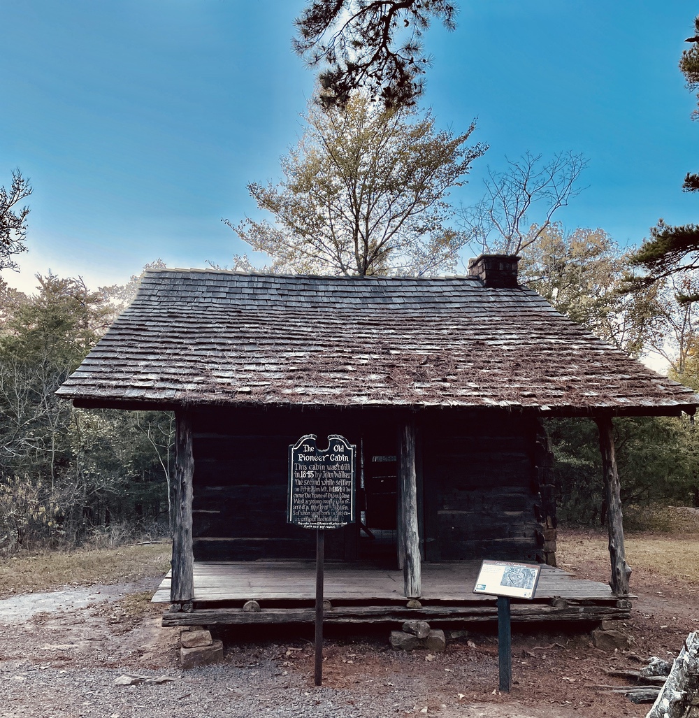
Toward the end of the afternoon, we arrived at another noted stop along the way, #5 in the book, Petit Jean State Park. This is actually not on Highway 7, but on Highway 154 to the east. I had seen lots of beautiful photographs of this setting, but oh my … it took my breath away. Arkansas is proud of this park, and it shows. A beautifully restored old pioneer cabin, built in 1845 by John Walker, who was the second white settler on Petit Jean Mountain, sits near a parking lot. The drive up a winding mountain road to the park is splendid, and we started to see some colors peeping here and there.
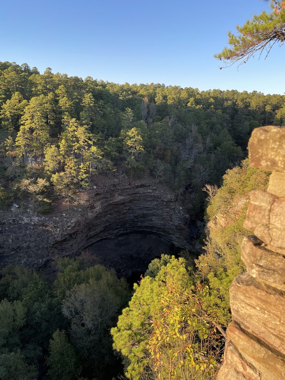
So, we’d seen Arkansas’ first rest area, and now, we had arrived at Arkansas’ first state park. I looked forward to seeing the park’s Cedar Falls, which boasts a 94-foot plunge. The wooden walkway led us to the overlook, and alas, not a trickle appeared down the beautiful bluffs. Last fall was dry in the Ozarks, and we had seen the red alert signs for burning along the way. I didn’t realize it would be that dry, though.
Hot Springs
Did we go there? Yes, we did.
Was it full of tourists? Yes, it was.
Did we leave ASAP as a result. Yes, we did.
Someday, we’ll go back, but I’ll make reservations for the baths and swanky museum stuff beforehand. The purpose of this trip was to drive and enjoy natural beauty. So, aside from driving up to the city overlook for a look-see, we got back on the road and headed north.
Buffalo River
I would be remiss not to mention catching views of the beautiful Buffalo River here and there. Since Congress deemed this to be a national river in 1972, no dams impede its progress as it meanders for 150 miles through the Ozarks to the White River.
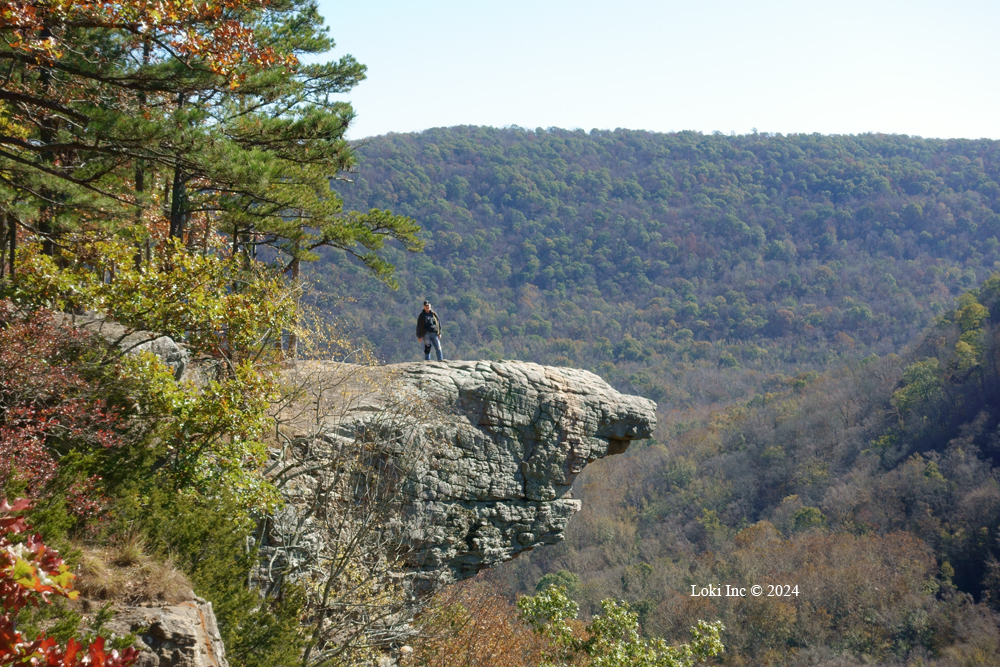
Hawksbill Craig
On the final day of our adventure, we started heading north toward home, but along the way we stopped and took an amazing stretch for our legs – a hike to Hawksbill Crag. I’d seen so many gorgeous photos of this beautiful natural attraction, and I couldn’t wait to stand out there on that crag. It did not disappoint.
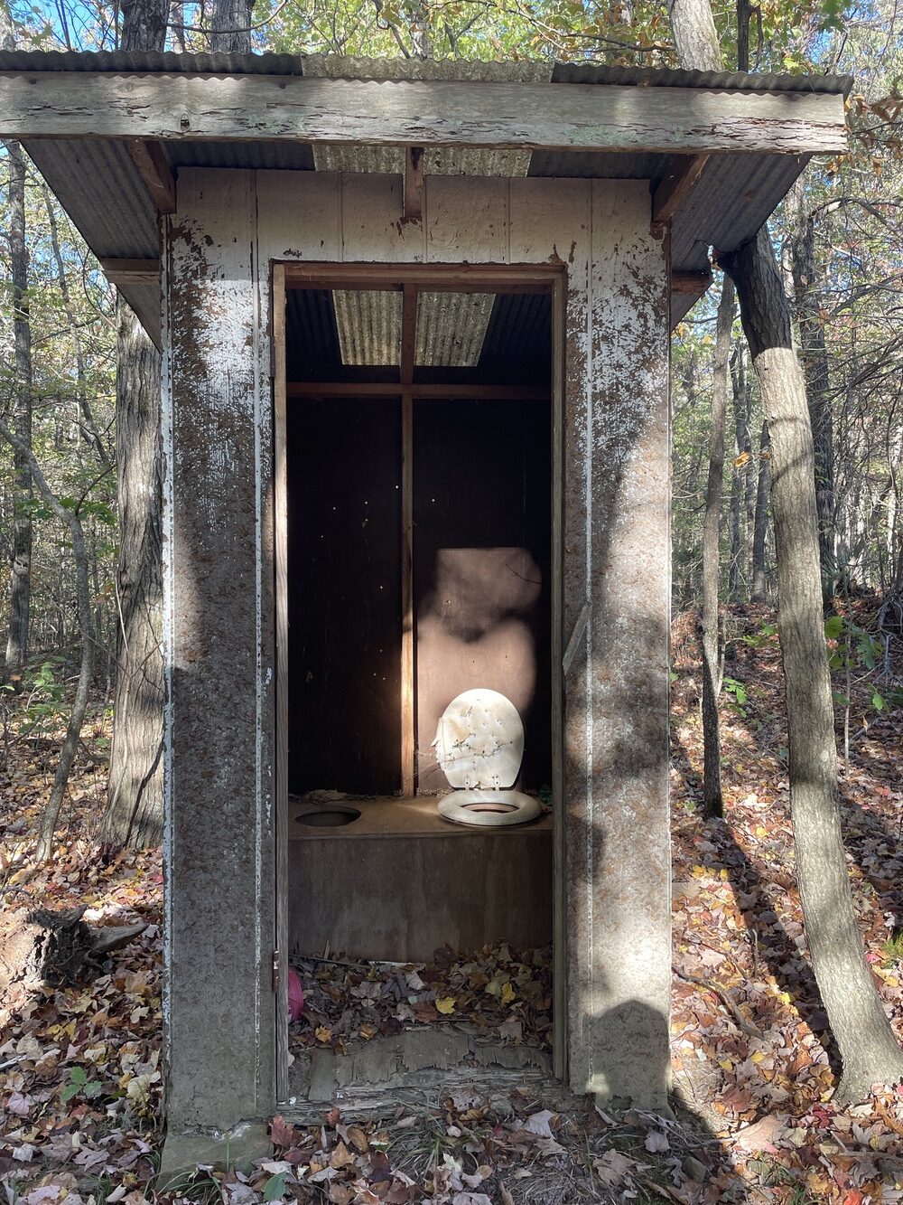
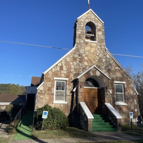
But, along the way to the crag, we stopped at Cave Mountain Church and graveyard in Pettigrew. This is where I found a “two-holer” in an outhouse in the back yard of the property. I also noticed the table supports (sans tops) for social gatherings.
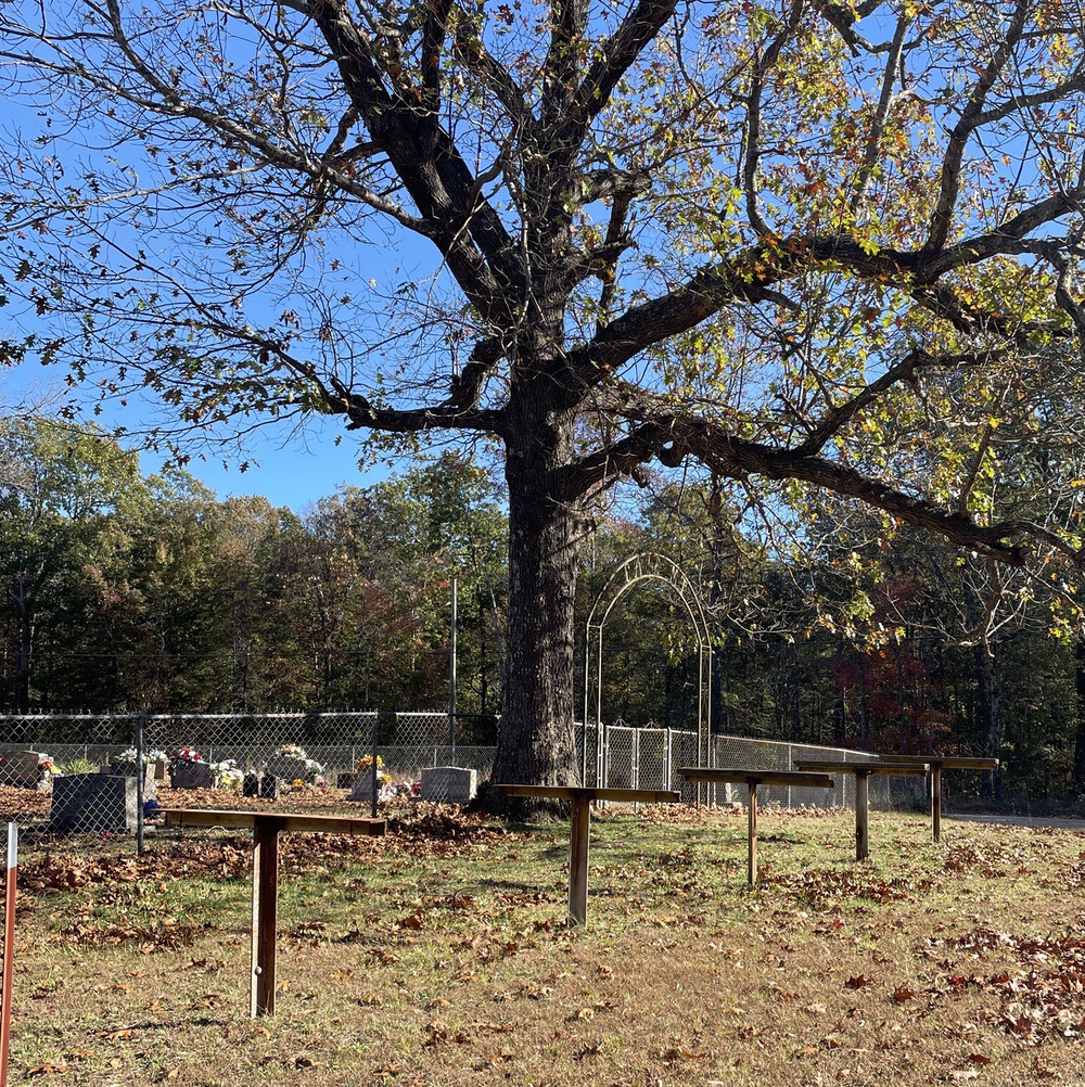
You’ll see these at old church properties, and many are still in use. Sometimes you’ll see them near cemeteries and graveyards, because for Decoration Day or other special occasions, people will place boards across the stands/supports (think sawhorses) to hold casserole, Jello molds and pans full of food brought to share. I love to see these old symbols of community.
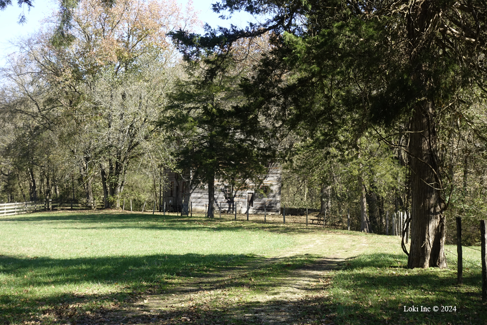
Boxley Mill
Here’s where we really veered off course, because I am crazy about old water mills. We took State Route 43 up and down, up and down, searching for the mill – which was set back in a wooded part of a creek valley. Boxley Grist Mill is owned by the National Park Service, but not available for daily tours. In fact, it’s set quite a ways away from a fence and the only entrance to it is via a chained gate on a lane. The mill was built in the 1870s, and ran until a flood washed away its major components in the 1950s. There is no signage, and the only reason we found it was because I spotted a guy with a camera around his neck, standing near the fence line.
Maplewood Cemetery
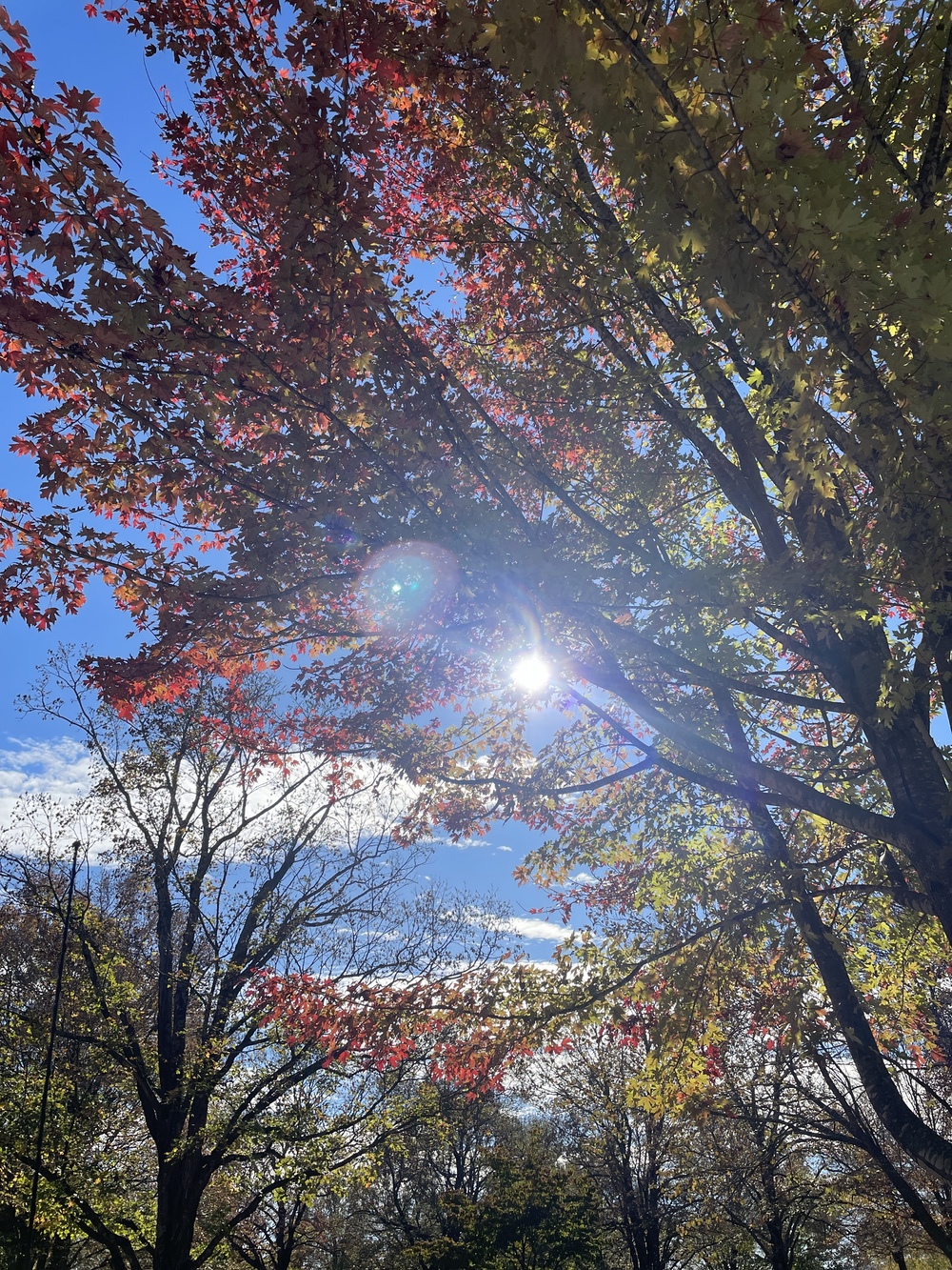
After finding the mystery grist mill, we headed to Harrison, where I’d heard about a cemetery loaded with maple trees. In fact, it’s called the Maplewood Cemetery. According to “Explore Harrison,” the cemetery has more than 733 sugar maple trees. Sugar maples don’t just turn red, but their colors vary from red to orange to yellow. The people of Harrison are so devoted to this cemetery and its lovely trees that it created the 20th Century Club in 1901, dedicated to preservation and enhancement of the site. Its last project – from 2009 to 2011 – occurred because of an ice storm in 2009 that damaged several trees. Phase I included a survey and Phase II saw more than 10,000 hours of volunteer labor to trim, mulch, weed, remove and replace trees.
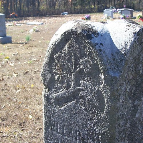
It was a beautiful drive through the cemetery, and several leaf peepers showed up on that afternoon and walked among the tombstones.
All in all, this is a drive I’d highly recommend. Take good, sturdy boots, binoculars and prepare to spend at least three days, maybe more, if you want to spend more time in Hot Springs. Maybe you could hike your way down that direction, and then, avail yourself of a nice, hot bath when you get to Hot Springs. It’ll be your trip, after all.

