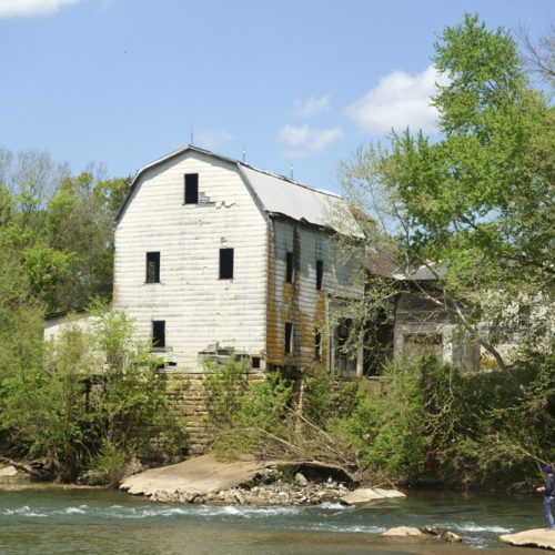
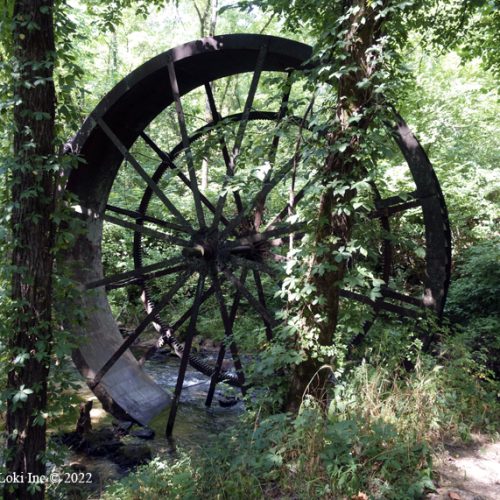
Back in the day, especially when we had a lot of kids and not a lot of money, we spent time finding fun and free things to do. Exploring the Huzzah Conservation Area was one of those things, and we struck out in the late winter and found not only some lovely streams, but also, something else.
First, cut a slice of smoked cheddar cheese and place it on a piece of crusty French bread. Add a long line of zesty horseradish sauce and cover it with another piece of bread. Wrap it up, tuck it in a sack along a juicy Gala apple and some ice-cold water.
Find a fallen log beside any of the creeks or rivers in this part of Missouri, and sit in the Sunday afternoon sunshine as you bite first the sandwich, then the apple, then the sandwich, then the apple . . . followed by a long drink of the cold water. Savor the taste while the sun shines on your back and the sound of the water soothes your soul. You will wish for time to stop and for the day to stretch forever.
It is not difficult to find such therapeutic spots here in the Ozarks. For many people, a trip to Lane Spring or Maramec Spring fulfills the need to get out and enjoy the first warm days before the calendar officially triggers spring’s arrival. If you are looking for a place to really get away from it all, and from the others who also like to explore the local parks, you might want to venture farther east to the Huzzah Conservation Area in Crawford County.
The Huzzah Conservation Area
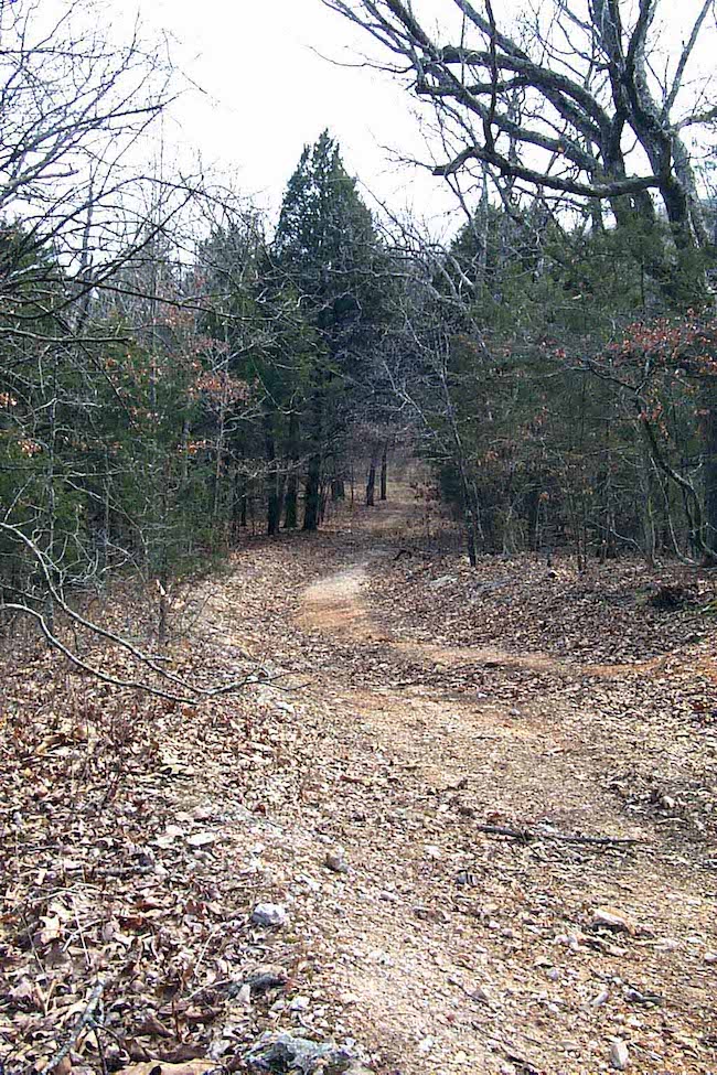
The Huzzah Conservation Area contains more than 6,000 acres of hills, forests, old worn-out mountains, bluffs, disced fields, meadows, trails, the Huzzah and the Courtois (I’m told by a local x-spurt, it’s pronounced “Coataway.”) creeks, abundant wildlife and the Meramec River. The fact that the Ozark Hiking Trail winds its way through a good part of the park was something we did not discover until after making our own way through briar patches and along slippery ridges, because we relied on a topo map and my trusty navigator companion’s, aka hubby’s, GPS unit.
When in the park, it is easy to see how the Conservation Department has been hard at work, managing not only the timber, but also planting food plots to attract quail and other game birds. A shooting range is also available to the public, as well as campgrounds, picnic areas and put-in places along the creeks and river for boats.
We started walking alongside Courtois Creek—often losing sight of any trail at all. After working up a bit of a sweat, we decided to sit on a log on a sandy beach and admire the bluffs across the creek while we partook of lunch. My hubby said, as he looked upward at the immense bluff formations, “It’s easy to see why it’s difficult to grow things in Missouri, when you consider all that rock is beneath us in most places.” Actually, I never had considered it, but you might want to the next time you contemplate a bluff.
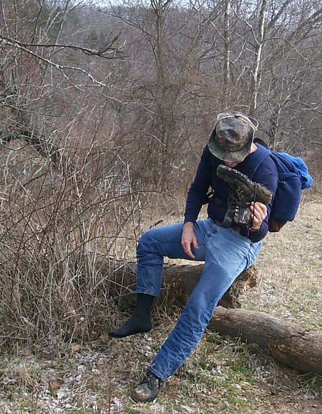
We finished our lunch and headed out to find the real reason we came to the park—to find The Narrows. But in order to get to The Narrows, we had to ford the Courtois. I was not wearing my Goretex boots, and if I had been, the water still would have been too high. So, I removed my boots and socks and crossed that wintry-cold, spring-fed creek. When I arrived at the halfway point in the creek, I could no longer feel my stumps of feet and just kept going—over to the muddy bank on the other side.
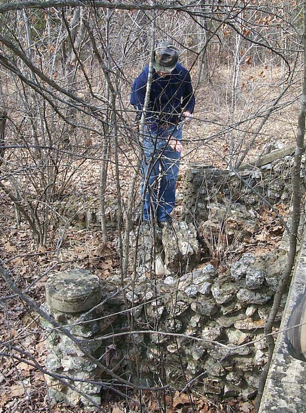
Along the way to The Narrows, we noticed an old weathered barn, leaning downhill. A quick peek inside revealed the care the farmer had taken to construct a top-notch barn, complete with troughs and pens and a hayloft. A few feet away from the old barn stood the remains of a rock house, with front steps and part of the parlor intact. A well at the back of the house had been filled in with rocks from the main house.
Finding The Narrows
About a mile farther, and at the top of a steeply inclined trail, The Narrows appeared. Ridges, or Devil’s backbones, in this state have always intrigued me. The Narrows is just another term for this geographical formation—where a hilltop actually stretches out into a hogback ridge, allowing the viewer to look down on two sides. In this case, The Narrows divides the Huzzah and Courtois creeks. And it’s really quiet up there—really eerily quiet, with just the wind songs in the treetops.
Most folks—if they had found the official state conservation map available at the campsites—would have continued back on the trail downward from The Narrows, but we decided to follow my companion’s pre-determined, but difficult, route. This made the slippery slope an adventure. When we had to cross a creek again, this time the Huzzah, I gave up and trudged on through the creek with my boots on my feet this time. Squish, squish. The route we took, although adventurous, is not recommended. If you decide to hike to The Narrows, stop at the campgrounds along the Courtois across from Bear Cave and pick up your own Area map before striking off. The Huzzah Conservation Area is open during daylight hours, northeast of Steelville on Highway E.
Visit the website for Huzzah Conservation Area.

