I’ve seen stunning photographs of Hawksbill Crag throughout the years, and it has been on my must-see list for quite some time. This past fall, my husband and I decided to slip down into Arkansas at the end of October to leaf peep and to find this amazing geological formation.
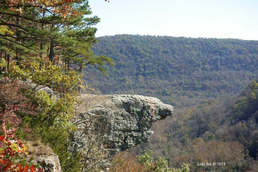
Hawksbill Crag
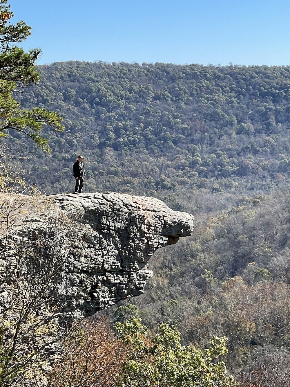
Hawksbill Crag, found off the Whitaker Point Trail, is a sandstone overhang that resembles a hawk’s head – complete with bill. It overlooks the Ozark National Forest, from the Upper Buffalo Wilderness area. It’s located about 25 miles southwest of Jasper. It is recommended that you take a four-wheel drive vehicle for your drive up the rutted county road to the parking area at the trail head, especially in wet weather. You have to hike to the Crag, as there is no personal vehicle access allowed.
Hawksbill Crag’s original name, Whitaker Point, gets its name from nearby Whitaker Creek, which drains into the beautiful Buffalo River.
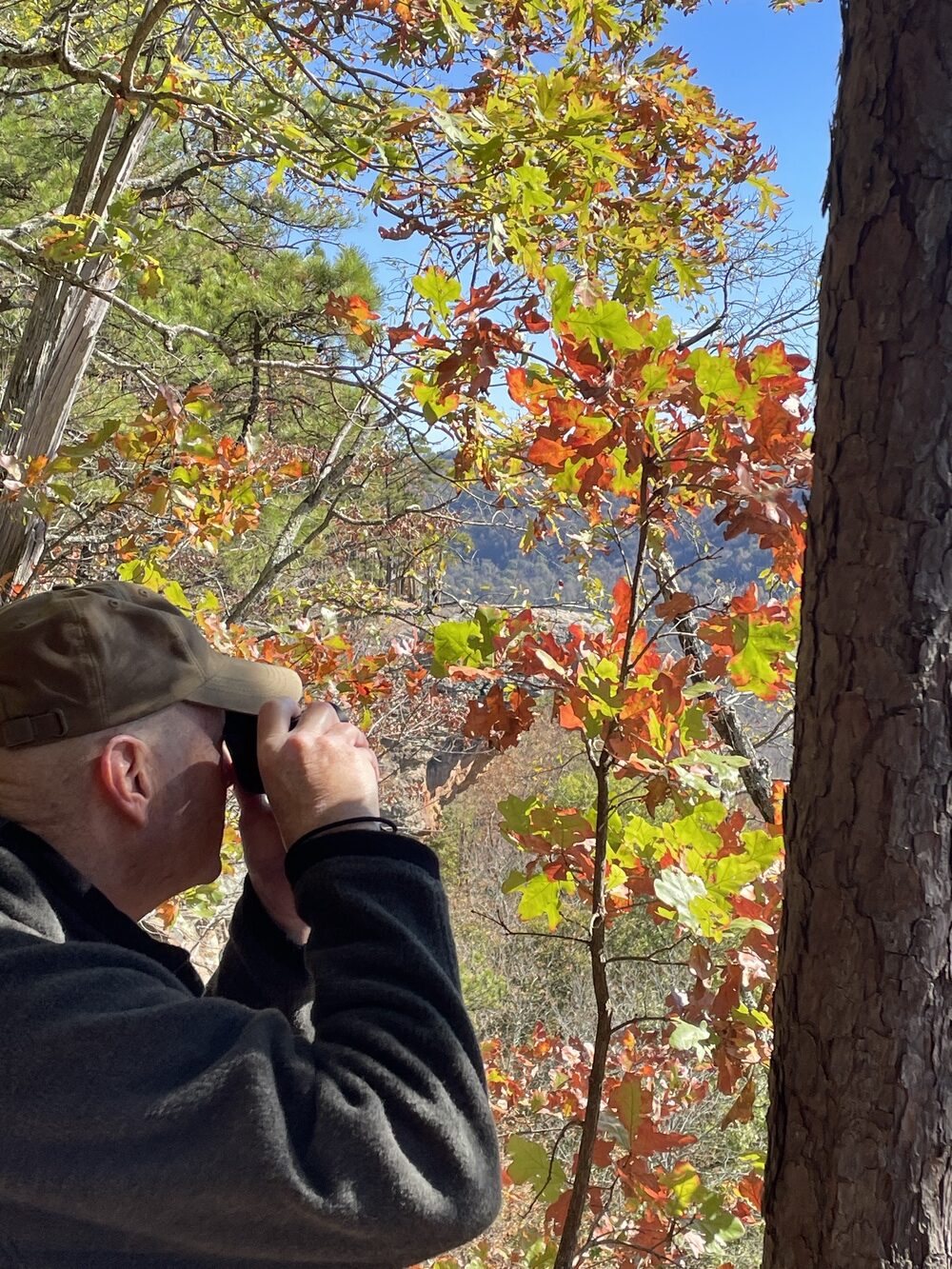
On this fall day, we found parking easily (although during the peak of the season, it’s more difficult, so they say) and we also found the trailhead right away.
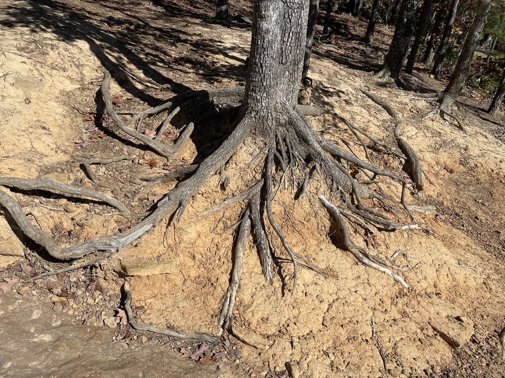
The 2.9-mile trail is classified as easy, but make sure you wear good boots and are willing to step over huge tree roots and around large rocks in the trail.
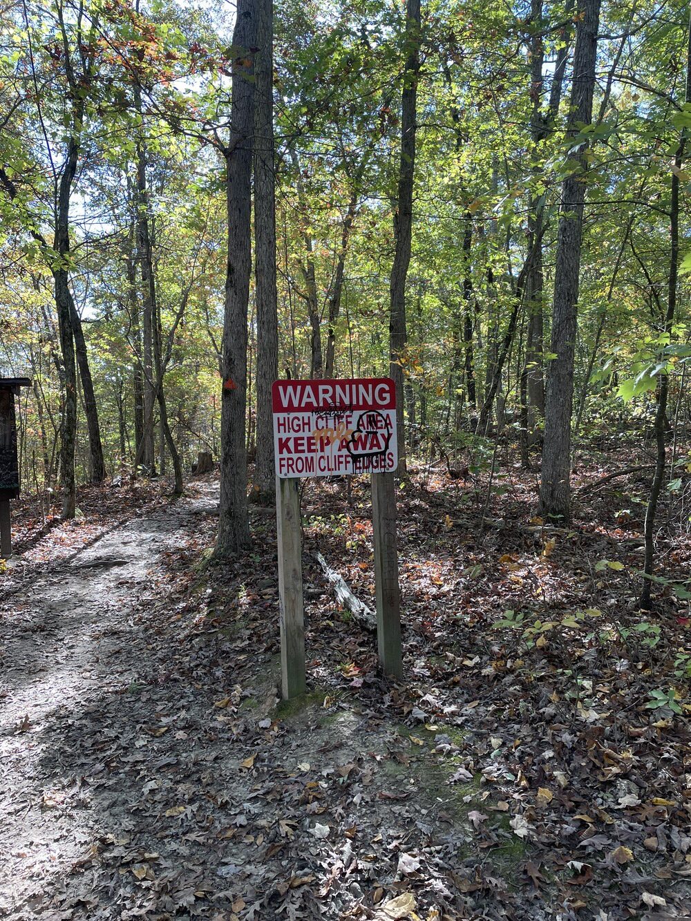
After a mile, the trail crosses a small creek. We were told at this point we’d encounter a “fork in the road,” where you can either turn left, following an old roadbed through the woods, or turn right and follow the creek downstream. We must not have paid enough attention, though, as we never spotted the fork. In wet weather, you’ll more than likely see Haley Falls, which was named after a girl who got lost and recovered three days later. It’s said to have been one of the largest recovery missions in the state’s history. Once the trail gets up toward the bluff line, walk with care and stay away from the edge of the bluff.
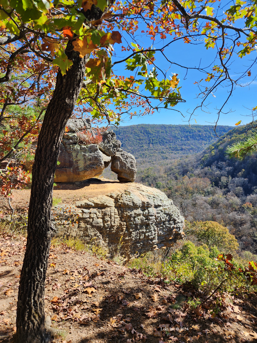
Huge boulders align the bluff, reminding me of the massive rocks over at Elephant Rock State Park in Missouri. They are that big. Just when you might be wondering where in the wide world of rocks this particular one might be, you’ll see it.
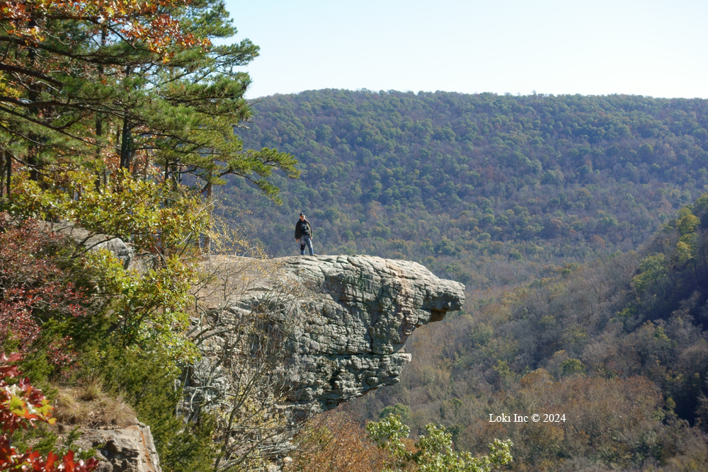
It was breezy on this day, so we opted not to walk too far out on the crag; there is room to stand without getting too close to the edges. The exposed rock on the top of the crag extends out about 30 feet, overhanging the Lower Fork of Whitaker Creek, but the crag is about 200 feet higher the creek bed at the bottom of the ravine. Along the way, we enjoyed seeing mature beech and maple trees. Some of the leaves had changed colors, but it was spotty this past year in the Ozarks. Note: you will follow the same trail back.

Tim Ernst, one of Arkansas’ finest nature photographers, included Hawksbill Crag in his book titled “Arkansas Nature Lovers’ Guidebook: How to Find 101 Scenic Areas in the ‘Natural State.’” He calls “the Crag” the “most photographed natural feature in Arkansas.”
I’d say this hike is worth every step. Not only will you be immersed in a lovely forest, but you will see a beautiful crag that is unique.
If you want to go to Hawksbill Crag, you might check out this resource, The Ozark Experience, for its directions.

