“Whew, would you look at that,” I said to my husband, who stood at my side by the Big Piney River near Houston, Mo., while we peered up at a ridge topped by The Pinnacles. Unfortunately, the sights we’d come to see, The Narrows, lay across the river. “How are we going to get up there?” I pondered. We could barely make out the rocks between the cedars, but they looked spectacular.
If only our timing had been right. On a warmer day, we’d have gladly waded the river to get to the other side, and then toiled up the steep slope to get to the trail that led to the ridge top and all its splendor.
Or we could have put in our canoe upriver and pulled over on the gravel bar below the ridge. Instead, we stood there, trapped by a fast running river, the cool temperature, and a cold breeze. According to our map, the trail ended somewhere nearby, with no footbridge or crossing.
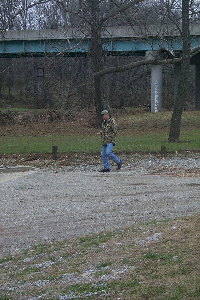
We backtracked to the parking lot, climbed in the truck, and drove back down Highway 17 to Highway Z. After crossing the bridge over the Big Piney, we spotted a trail marker, and pulled over alongside the road. We started climbing and reached our reward within a few minutes. We found the hogback ridge and the rocks we had been searching for, and began exploring.
Thanks, once again, to Thomas R. Beveridge, author of “Geologic Wonders and Curiosities of Missouri,” we had planned this outing. He wrote, “Many of the ‘narrows’ in Missouri are crowned by roads. [Many of these roads are nicknamed “Devil’s Backbones.”] The Houston specimen is too narrow for a road but it is one of the most scenic.”
The Narrows
Because of the erosion caused by two nearby running streams, the West Piney Creek and the Big Piney River, The Narrows were formed.
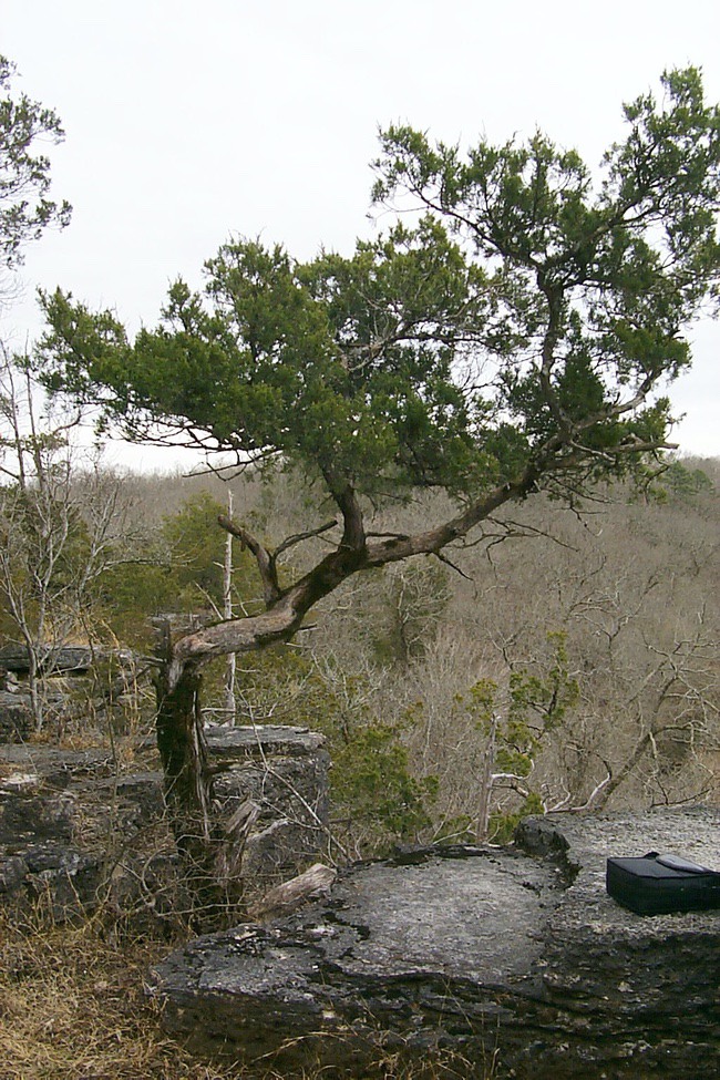
 From the top, we saw a spectacular view in all directions. Imagine seeing a pile of rocks several feet high, with the bottom rocks tapering inward while supporting the flat rocks on top. If the view was not enough, the ridge, itself, was a sight to behold with its pinnacled crest of Jefferson City dolomite.
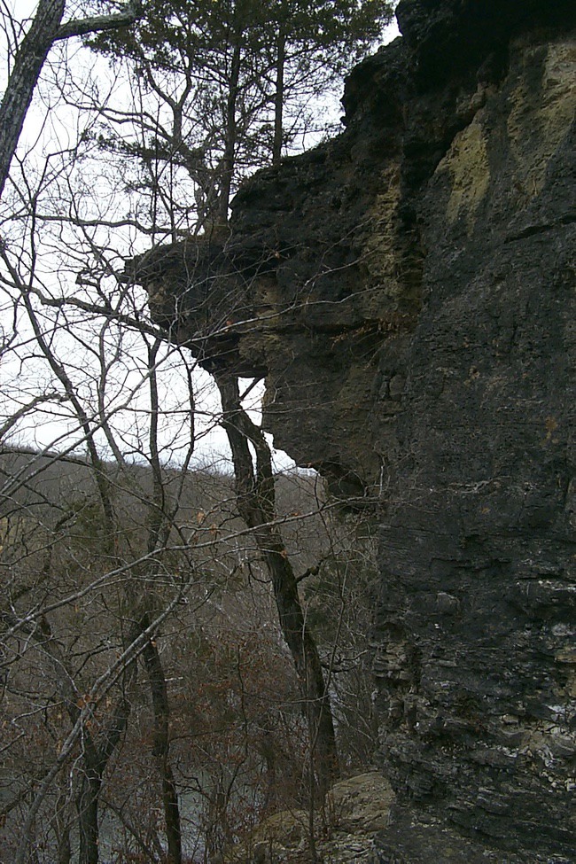 Dolomite (calcium magnesium carbonate) is a type of limestone found throughout the Ozarks, and the Jefferson City dolomite is an identifiable layer named after, of course, our state capital. Beveridge reported that several buildings on Highway 63 from Houston to Westphalia have been constructed using this type of rock.
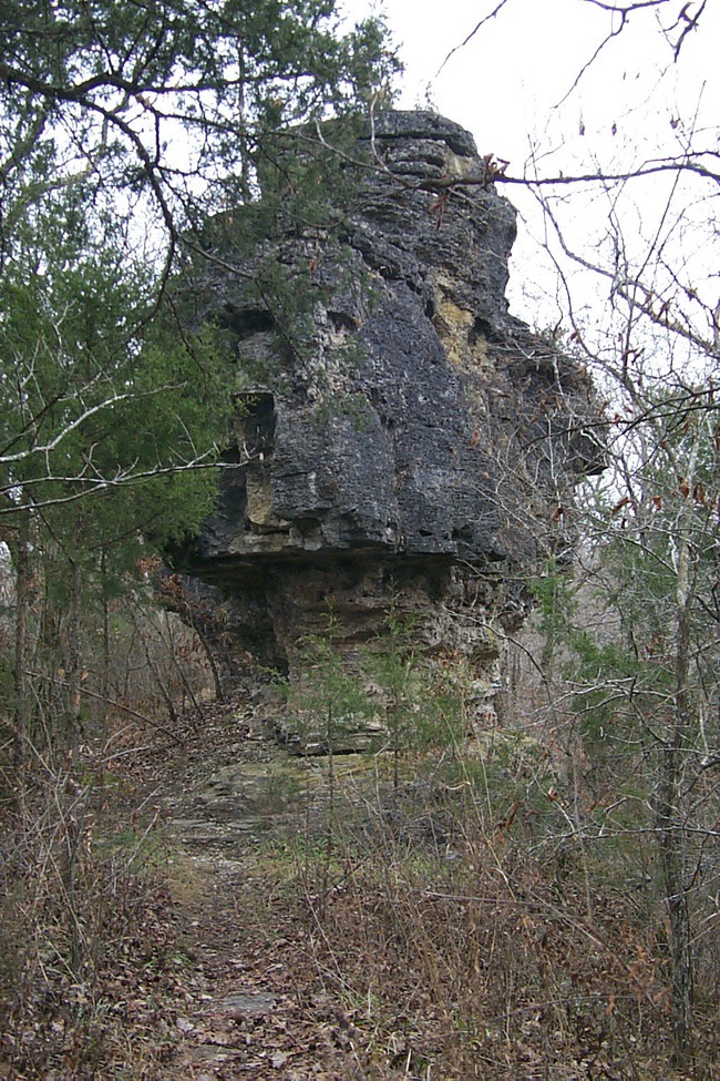
On the southeast end of the ridge stood Balancing Rock, which measures about 70 feet long. Although we didn’t venture atop Balancing Rock, we did climb on other rocks that ran along the ridge – often stretching across two-to-three foot cracks. Because of the heights and poor footing, this is not a trail for young children, those with difficulty walking, or the elderly.
Except for the occasional train or truck noise, we heard nothing but the sounds of water and wind. Time often stands still for me when I find such a place of beauty. On this day, it did. I left with a refreshed and recharged soul.
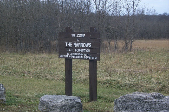
 Piney River Narrows is owned by the L-A-D Foundation and managed by the Department of Conservation. To get to The Narrows, take Highway 63 to Houston, then turn west on Hwy 17 until you get to Highway Z. Turn south and cross the Big Piney River. Look for a trail marker and small pull-off place on the west side of the highway immediately beyond the bridge.

